Category Archives: Artwork

I Was Wrong About George Washington

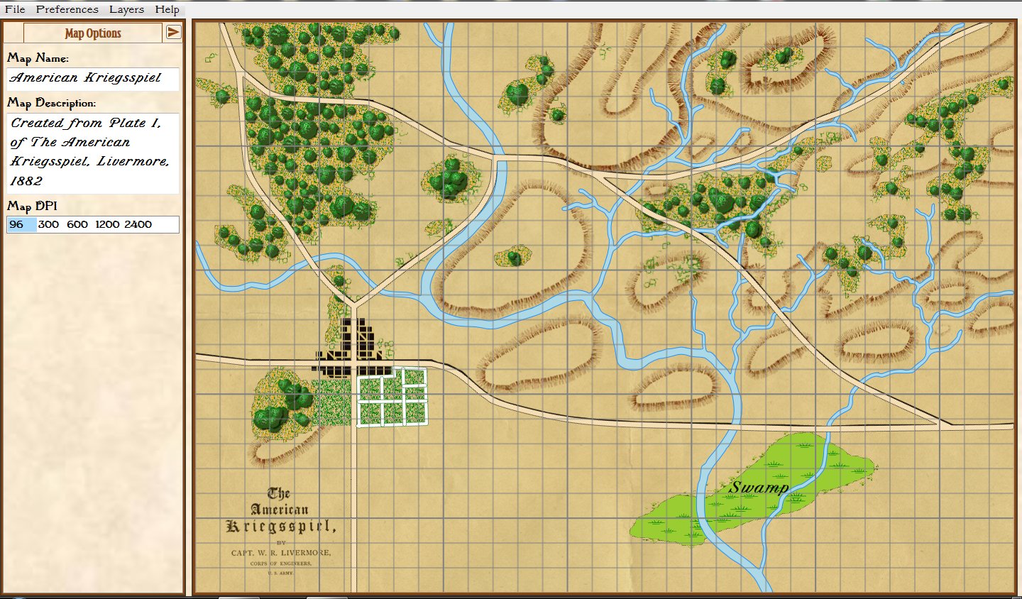
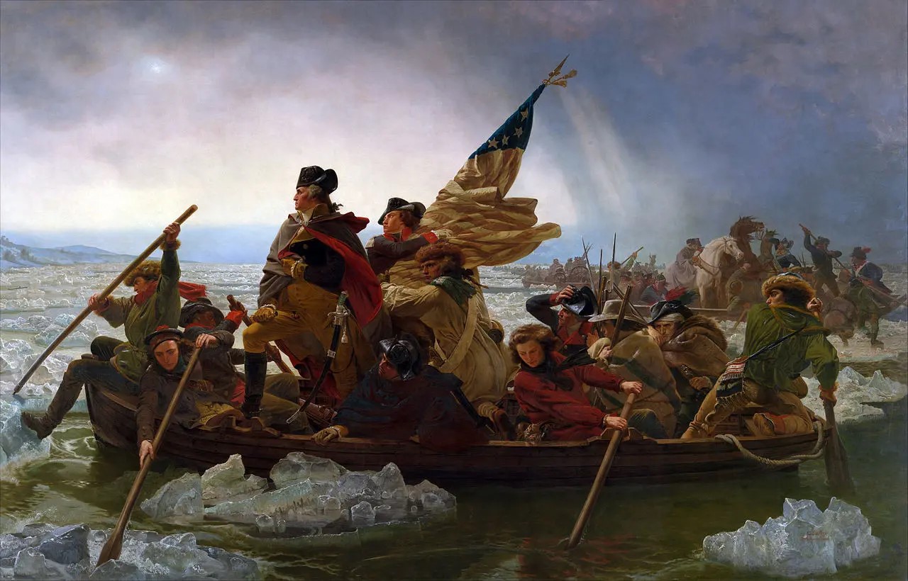
Washington Crossing the Delaware by Emmanuel Luetze. 1851. The Metropolitan Museum of Art. Click to enlarge.

I must confess that I was never much a fan of George Washington’s generalship. Having not studied American Revolution military history I thought that from 1776-1781 the British chased Washington and his sad excuse for an army up and down the eastern seaboard of what was to become the United States until the French Comte de Grasse defeated the British naval forces at the Battle of the Chesapeake and the Comte de Rochambeau at the head of a French army surrounded, besieged and eventually captured, Cornwallis at Yorktown.

To make matters worse, years ago I stumbled upon George Washington’s Expense Account which is, frankly, brutal. Washington turned down the magnanimous salary of $500 a month for being Commander in Chief of the Continental Army famously saying,

“As to pay, Sir, I beg leave to Assure the Congress that as no pecuniary consideration could have temped me to have accepted this Arduous employment (at the expense of my domesttic [sic] ease and happiness) I do not wish to make any Proffit [sic] from it. I will keep an exact Account of my expences. Those I doubt not they will discharge, and that is all I desire.” 1)George Washington’s Expense Account, Washington, George & Kitman, Marvin, page 15

If Washington had accepted the salary he would have been paid $48,000 for five years’ service. Instead, his ‘expences’ came to $449,261.51! This book – and it contains a photocopy of every page of Washington’s Expense Account in fine copperplate handwriting along with a humorous explanation of the expense – is damning. Washington’s very first entry for June, 1775 was for $6,214 (over an entire year’s salary at $500 per month) for “…the purchase of five Horses… to equip me for my journey to the Army at Cambridge – & for the Service I was Then going upon  – having sent my Chariot and Horses back to Virginia.” There are also numerous expenses for cases of the finest wines and plenty of food while at Valley Forge. Not surprisingly, when Washington offered Congress the same terms when he was elected president (no salary just expenses) Congress insisted that he take $25,000 a year; no expenses paid.

Like most Americans, what little knowledge I had of the battle of Trenton can be summed up in Luetze’s famous painting, above: Washington, posed heroically, crossed the Delaware River on Christmas Eve and surprised a garrison of drunken Hessian mercenaries at Trenton capturing them all without a shot. In reality, not much of that is true. Yes, Washington did attack Trenton but it was on the morning of December 26, 1776, and the Hessians weren’t drunk; they fought bravely and their commander, Col. Johann Gottlieb Rall, died leading them.

Then I discovered (from reading David Hackett Fischer’s Pulitzer Prize-winning Washington’s Crossing) that the amazing part of the story wasn’t the battle of Trenton (which really was an extraordinary tale of a small, poorly-equipped, non-professional army making an audacious amphibious crossing of an ice-choked river) but the campaign that followed the victory from December 30, 1776 to January 3, 1777.

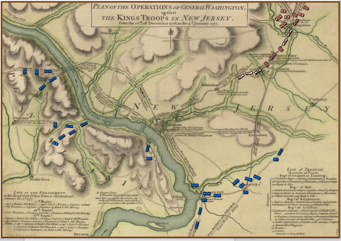
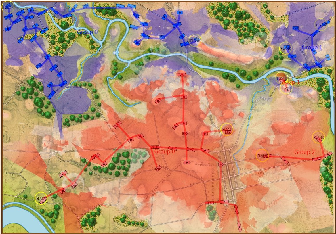
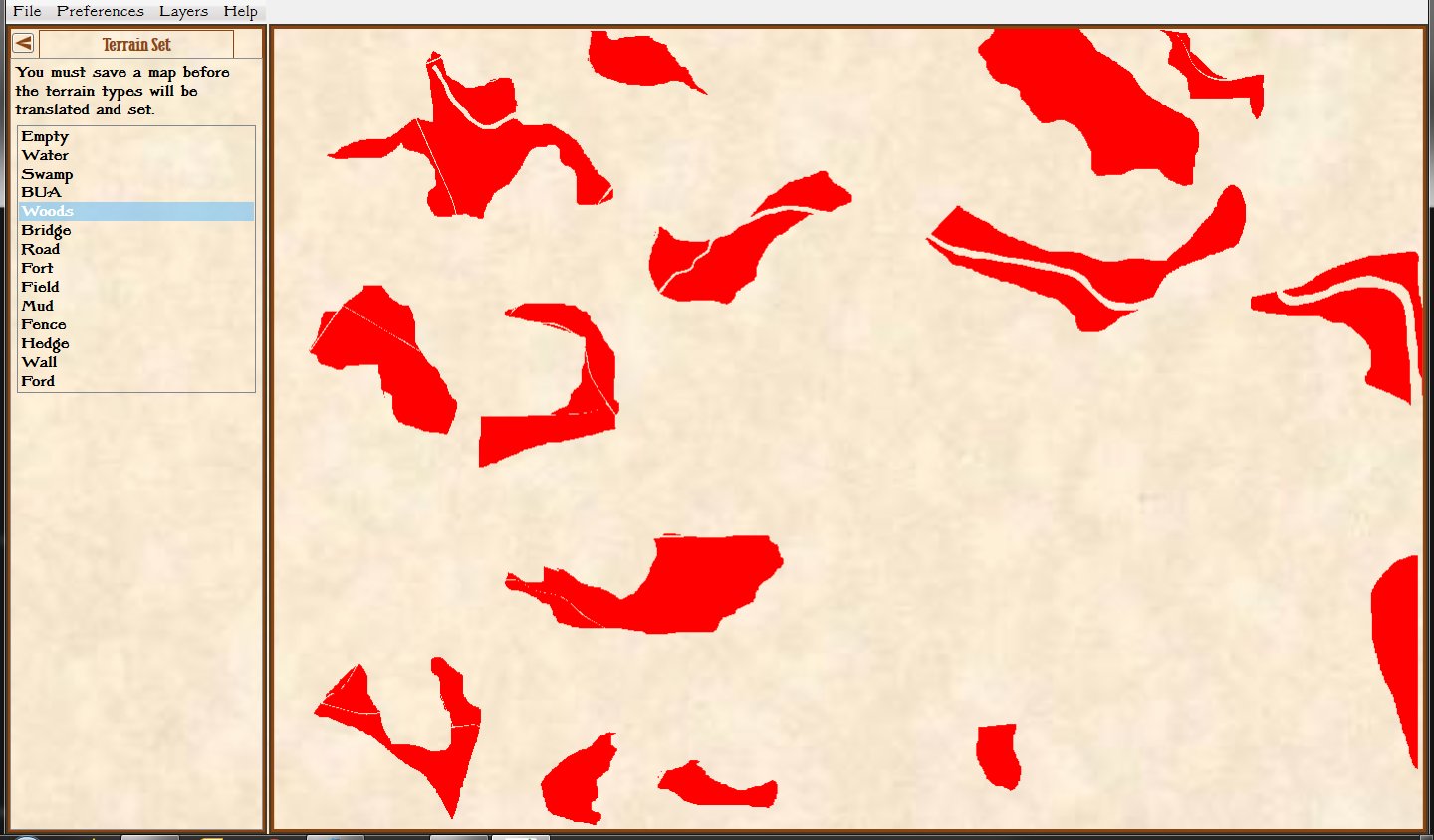
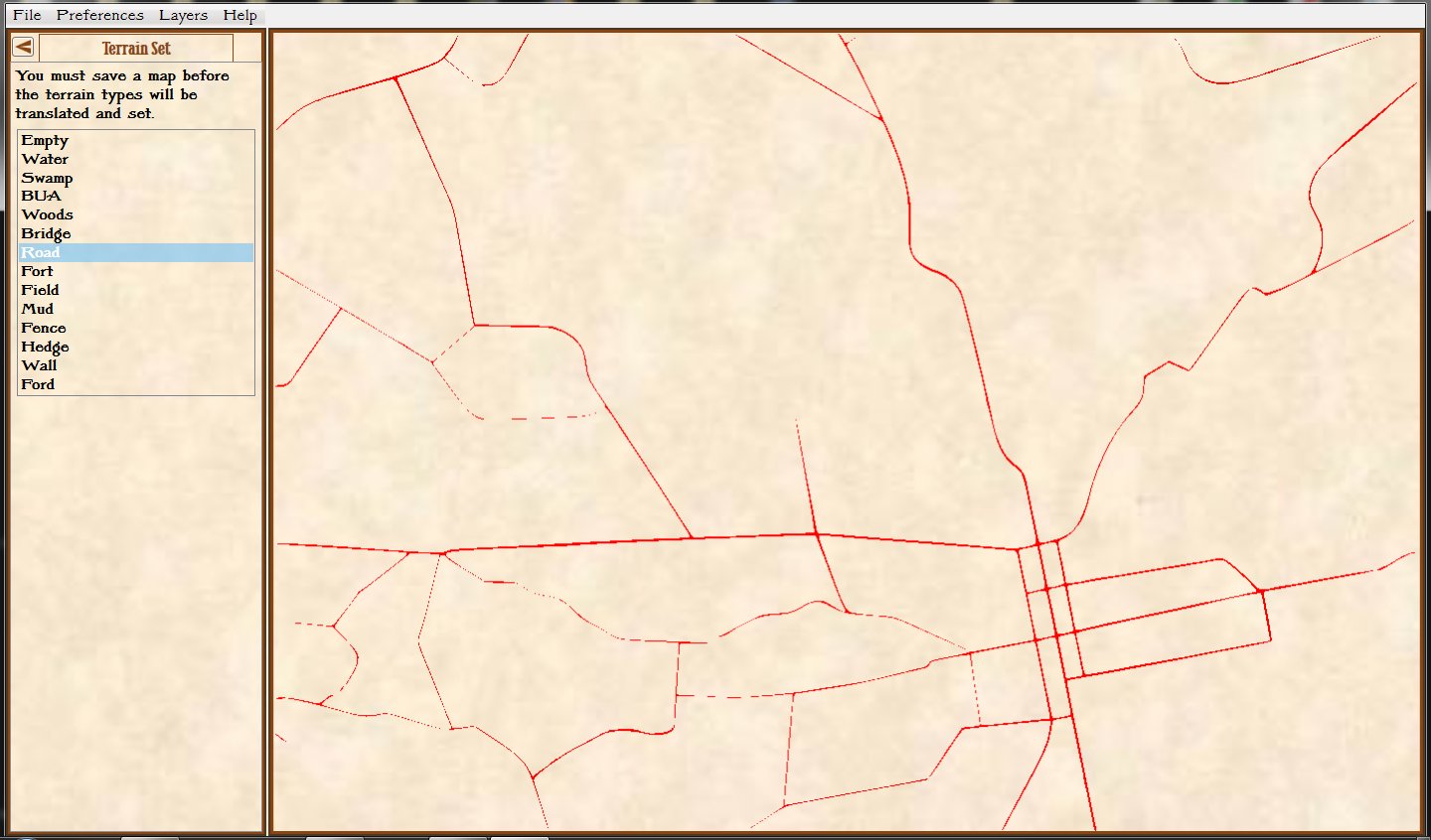
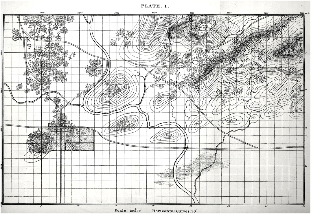
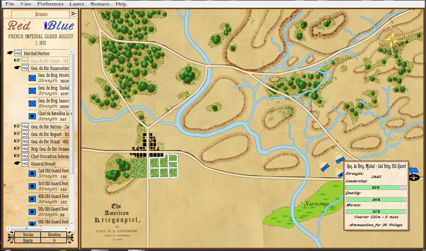
The strategic situation in the Princeton / Trenton area, December 29, 1776. Screen shot from the General Staff Scenario Editor. Click to enlarge.

Washington’s forces had made it safely back across the Delaware River after the Trenton raid but he now faced a difficult decision: terms of enlistment were running out for many units in his army and he feared taking the field again in bitter cold with a diminished force. As always, Washington held a council of war. As the senior commanders of the army advised caution a courier arrived informing them that Brigadier General John Cadwalader with his Pennsylvania militia had already crossed the Delaware and was at Crosswicks itching for a fight with the British (this is the blue force at the bottom of the map, above). After more discussion, one group stated, “tho’ they would not have advised the Movement, yet it being done it ought to be supported.”2)Washington’s Crossing, David Hackett Fischer page 266. Eventually, with Washington’s urging, the council voted to support Cadwalader, recross the Delaware and, again, defeat the British in the field.

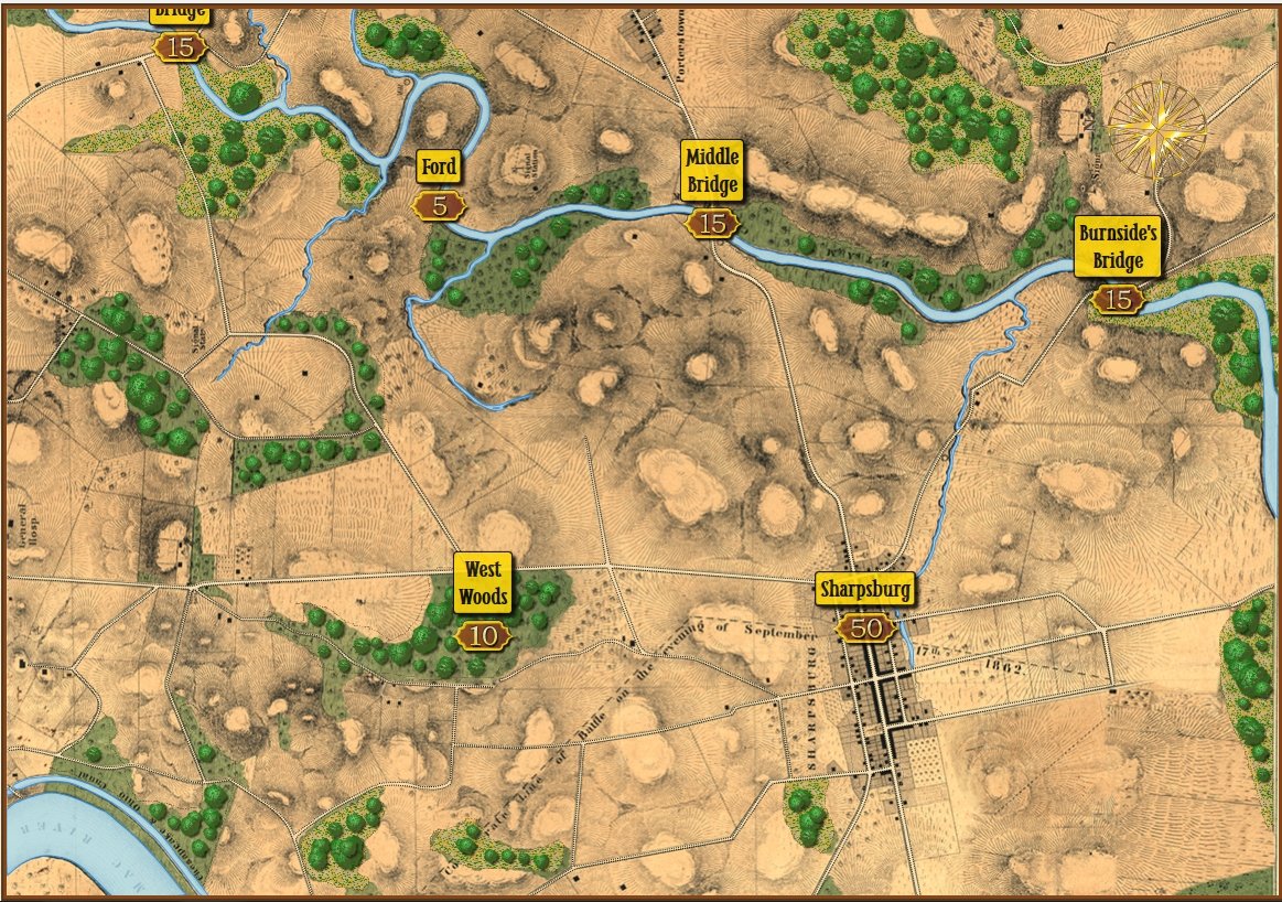
This was a bold strategy; a defeat of the Continental Army with its back to a river would probably spell the end of the revolution. Washington’s plan was to assemble his forces east of Trenton, in a strong defensive position on ‘good ground’ behind the Assunpink Creek and lure Cornwallis, who was commanding the British and Hessian forces, to attack. This Cornwallis did and was soundly defeated. Washington now moved decisively, sending his forces to capture Prince Town (Princeton) to the north. At the crucial moment in this battle Washington rallied the routed Pennsylvania forces saying, ” ‘Parade with us, my brave fellows! There is but a handful of the enemy, and we will have them directly.’ Washington [then] led his men straight into the center of the battle, within thirty paces of the British line. He was mounted on a white horse, an easy mark for any British soldier.”3)Ibid. page 334

Frankly, I cannot comprehend such bravery. The attack, of course, was a success and the Americans captured Princeton and, perhaps more importantly, demonstrated that their volunteer army would fight, could fight and could win. Washington showed superb strategic and tactical vision throughout these ten crucial days4)See https://tencrucialdays.org/wp-content/uploads/2019/09/eb14b5212fb62dfea8d100f3efd1950f.pdf  for a wonderful series of maps that cover this campaign as well as extraordinary personal courage.

I was wrong about George. Washington.

References

References
1 George Washington’s Expense Account, Washington, George & Kitman, Marvin, page 15
2 Washington’s Crossing, David Hackett Fischer page 266
3 Ibid. page 334
4 See https://tencrucialdays.org/wp-content/uploads/2019/09/eb14b5212fb62dfea8d100f3efd1950f.pdf  for a wonderful series of maps that cover this campaign

AI Routines Added But We Need More Testing Data (Maps & Armies)

The AI routines for calculating battle lines and range of influence have been ported over from the original C++ code to C#:

Antietam displaying Range of Influence and Battle Lines. Click to enlarge.

I’ve written a number of blog posts about these AI routines which you may find interesting:

Battle Lines, Commanders & Computers

What’s Wrong With This Picture?

Wargame AI Continued: Range of Influence

That’s the good news. The bad news is that I’m also installing the Machine Learning AI that was the basis of my doctoral research and it needs more battles to learn from. A lot more. Currently there are 15 armies (click here) and 5 maps (click here). Ideally I would like about 50 armies and 30 maps used to create 30+ battle scenarios.

Are you a cartographer or a researcher?  If you are, and you’re interested, I could use your help if you would like to volunteer. All the maps and armies were created using the tools that you, as a backer, have already been provided: The General Staff Army Editor and The General Staff Map Editor. A little bit of PhotoShop or another paint program was used to clean up the old maps and a free program, Inkscape, was used to create the paths for roads and rivers. The most difficult task is the research. Finding Order of Battle Tables (OOBs) are pretty easy but General Staff requires knowing the actual troop strength of every unit. Sometimes, that is very hard to find. For the maps, adding elevation is usually the most difficult bit, but there are a number of built-in tools to make this easier.

If you’re interested in helping add to the data files please contact me directly: Ezra@RiverviewAI.com.

Maps, Commanders & Computers

How a map of the battle of Antietam looks to us humans. Screen shot from the General Staff Map Editor. Click to enlarge.

How the computer sees the same map (terrain and elevation). This is actually a screen shot from the Map Editor with the ‘terrain’ and ‘elevation’ layers turned on. Click to enlarge.

Computer vision is the term that we use to describe the process by which a computer ‘sees'1)When describing various AI processes I often use words like ‘see,’ ‘understand,’ and ‘know’ but this should not be taken literally. The last thing I want to do is to get in to a philosophic discussion on computers being sentient. the world in which it operates. Many companies are spending vast sums of money developing driverless or self-driving cars. However, these AI controlled cars have had a number of accidents including four that have resulted in human fatalities.2)https://en.wikipedia.org/wiki/List_of_self-driving_car_fatalities The problem with these systems is not in the AI – anybody who has played a game with simulated traffic (LA Noir, Grand Theft Auto, etc.) knows that. Instead, the problem is with the ‘computer vision’; the system that describes the ‘world view’ in which the AI operates. In one fatality, for example, the computer vision failed to distinguish a white semi tractor trailer from the sky.3)https://www.theguardian.com/technology/2016/jun/30/tesla-autopilot-death-self-driving-car-elon-musk Consequently, the AI did not ‘know’ there was a semi directly in front of it.

In my doctoral research I created a system by which a program could ‘read’ and ‘understand’ a battlefield map4)TIGER: An Unsupervised Machine Learning Tactical Inference Generator http://www.riverviewai.com/download/SidranThesis.html. This is the system that we use in General Staff.

The two images, above, show the difference in how a human commander and a computer ‘see’ the same battlefield. In the top image the woods, the hills and the roads are all obvious to us humans.

The bottom, or ‘computer vision’ image, is a bit of a cheat because this is how the computer information is visually displayed to the human designer in the General Staff Map Editor. The bottom image is created from four map layers (any of which can be displayed or turned off):

The four layers that make up a General Staff map.

The background image layer in a General Staff map is the beautiful artwork shown in the top image. The place names and Victory Points layer are also displayed in the top image. The terrain and elevation layers are described below:

The next three images are actual visual representations of the contents of memory where these terrain values are stored (this is built in to the General Staff Map Editor as a debugging tool):

Screen shot from the Map Editor showing just terrain labeled as ‘water’. Click to enlarge

Screen shot from the General Staff Map Editor showing the terrain labeled as ‘woods’. Click to enlarge.

Screen shot from the General Staff Map Editor showing the terrain labeled ‘road’. Click to enlarge.

A heightmap for Antietam. This is a visual representation of elevation in meters (darker = lower, lighter = higher). Click to enlarge.

To computers, an image is a two-dimensional array; like a giant tic-tac-toe or chess board. Every square (or cell) in that board contains a value called the RGB (Red, Green, Blue5)Except in France where it’s RVB for Rouge, Vert, Bleu  ) value. Colors are described by their RGB value (white, for example, is 255,255,255).  If you find this interesting, here is a link to an interactive RGB chart. General Staff uses a similar system except instead of the RGB system each cell contains a value that represents various terrain types (road, forest, swamp, etc.) and another, identical, two-dimensional array, contains values that represent the elevation in meters. To make matters just a little bit more confusing, computer arrays are actually not two-dimensional (or three-dimensional or n-dimensional) but rather a contiguous block of memory addresses. So, the terrain and elevation arrays in General Staff which appear to be two-dimensional arrays of 1155 x 805 cells are actually just 929,775 bytes long hunks of contiguous memory. To put things in perspective, just those two arrays consume more RAM than was available for everything in the original computer systems (Apple //e, Apple IIGS, Atari ST, MS DOS, Macintosh and Amiga) that I originally wrote UMS for.

So, not surprisingly, a computer stores its map of the world in which it operates as a series of numbers 6)Yes, at the lowest level the numbers are just 1s and 0s but we’ll cover that before the midterm exams. that represent terrain and elevation. But, how does a human commander read a map? I posed this question to Ben Davis, a neuroscientist and wargamer, and he suggested looking at a couple of studies. In one article7)https://www.citylab.com/design/2014/11/how-to-make-a-better-map-according-to-science/382898/, Amy Lobben, head of the Department of Geography at the University of Oregon, said, “…some people process spatial information egocentrically, meaning they understand their environment as it relates to them from a given perspective. Others navigate more allocentrically, meaning they look at how other objects in the environment relate to each other, regardless of their perspective. These preferences are linked to different regions of the brain.” Another8)https://www.researchgate.net/publication/251187268_USING_fMRI_IN_CARTOGRAPHIC_RESEARCH reports the results of fMRI scans while, “subjects perform[ed] navigational map tasks on a computer and again while they were being scanned in a magnetic resonance imaging machine.” to identify specific, “involvement or non-involvement of the brain area.. doing the task.”

So, how computers and human commanders read and process maps is quite different. But, at the end of the day, computers are just manipulating numbers following a series of algorithms. I have written extensively about the algorithms that I have developed including:

  • “Algorithms for Generating Attribute Values for the Classification of Tactical Situations.”
  • “Implementing the Five Canonical Offensive Maneuvers in a CGF Environment.”
  • “Good Decisions Under Fire: Human-Level Strategic and Tactical Artificial Intelligence in Real-World Three-Dimensional Environments.”
  • “Current Methods to Create Human-Level Artificial Intelligence in Computer Simulations and Wargames”
  • Human Level Artificial Intelligence for Computer Simulations and Wargames.
  • An Analysis of Dimdal’s (ex-Jonsson’s) ‘An Optimal Pathfinder for Vehicles in Real-World Terrain Maps’

These papers, and others, can be freely downloaded from my web site here.

As always, please feel free to contact me directly if you have any questions or comments.

References

References
1 When describing various AI processes I often use words like ‘see,’ ‘understand,’ and ‘know’ but this should not be taken literally. The last thing I want to do is to get in to a philosophic discussion on computers being sentient.
2 https://en.wikipedia.org/wiki/List_of_self-driving_car_fatalities
3 https://www.theguardian.com/technology/2016/jun/30/tesla-autopilot-death-self-driving-car-elon-musk
4 TIGER: An Unsupervised Machine Learning Tactical Inference Generator http://www.riverviewai.com/download/SidranThesis.html
5 Except in France where it’s RVB for Rouge, Vert, Bleu
6 Yes, at the lowest level the numbers are just 1s and 0s but we’ll cover that before the midterm exams.
7 https://www.citylab.com/design/2014/11/how-to-make-a-better-map-according-to-science/382898/
8 https://www.researchgate.net/publication/251187268_USING_fMRI_IN_CARTOGRAPHIC_RESEARCH

New Battles on Old Battlefields

Plate 1 from, “The American Kriegsspiel. a Game for Practicing the Art of War upon a Topographical Map,” by W. R. Livermore, Captain, Corps of Engineers, U S Army published in 1882. Click to enlarge.

When I was about ten years old my father brought home an original copy of Esposito’s The West Point Atlas of American Wars. My life was forever changed. I had always been interested in military history and maps but now I could clearly see the complexity of tactical maneuvers and how these battles unfolded.

In previous blogs, I have written about my introduction to wargaming through Avalon Hill’s superb games. While diving deeper into the history of American wargaming I discovered Livermore’s American Kriegsspiel (by the way, it is available online from the Library of Congress here). When I first saw Plate 1, above, I couldn’t help but think of the officers at West Point, ‘practicing the Art of War’ on that black and white map.

Consequently, one of the first things that I wanted to do with the General Staff Map Editor was bring Plate 1 back to life so new battles could be fought on it:

The American Kriegsspiel map imported into the General Staff Map Editor and converted for use with the General Staff Wargaming System. Grid lines are optional. Click to enlarge.

My good friend, Ed Isenberg, did the colorization and we added some new features in the Map Editor to support importing rivers, roads and other terrain features, from a PhotoShop image (for more information see the online documentation for the Map Editor here).

Importing the American Kriegsspiel map into the General Staff Wargaming System was a good beta test of the Map Editor. If you are an early backer you should have the location and password to download it. If, for some reason, you don’t have these, please contact me directly.

One of the interesting features of the General Staff Wargaming System is that any two armies created in the Army Editor can be combined to create a battle scenario on any map created in the Map Editor. Thinking about all the ‘mix and match’ combinations I decided to create an army, in the Army Editor, from the Order of Battle Table (OOB) for the French Imperial Guard, August 1, 1813 from George Nafziger’s, superb “Napoleon at Dresden,” book:

The French Imperial Guard Order of Battle in the General Staff Army Editor. Click to enlarge.

We are currently beta testing the General Staff Scenario Editor. Here I’ve imported the American Kriegsspiel map (from above) and the French Imperial Guard (from above). To position units, just click and drag from the OOB on the left:

Screen shot of the General Staff Scenario Editor where the French Imperial Guard is being positioned on the original American Kriegsspiel map. Click to enlarge.

Hopefully, this will get your imagination going and thinking about what maps, armies and scenarios you would like to see. In addition to the ability to create your own new scenarios on old battlefields, General Staff will ship with 30 historical scenarios (the list is published in previous blogs).

Please feel free to contact me directly if you have any questions.

A Map of Waterloo Created by an Eyewitness

Screen shot of the Map of Waterloo painted by an Eyewitness from Antiques Roadshow. This image has been brightened and the contrast increased for legibility. Click to Enlarge.

I happened to be watching Antiques Roadshow from Exeter on BBC America last night when this extraordinary map of the battle of Waterloo was presented. Though it bears no date or signature, it clearly was painted, “by an Eyewitness” shortly after the battle itself. I was immediately struck by the lettering  and how similar it was to our efforts in General Staff to recreate the look and feel of 19th century maps for our wargames.

Below is the link to the entire segment hosted on the BBC web site:

Link to Antiques Roadshow BBC clip, “Map of Waterloo A beautifully detailed map of the 1815 Battle of Waterloo drawn by an unnamed eyewitness.”